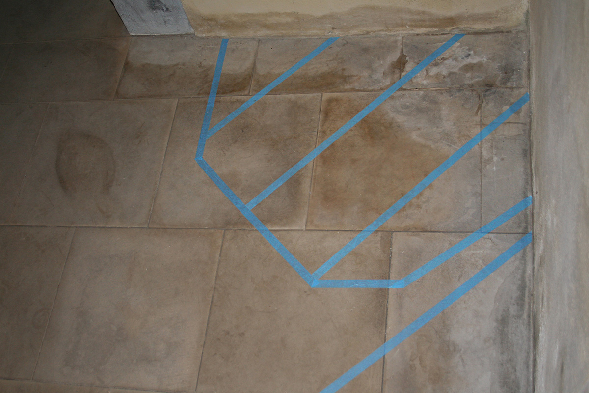
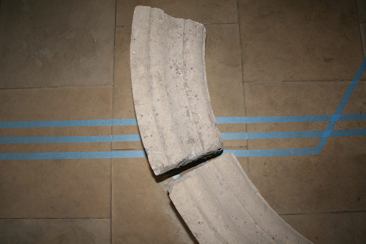
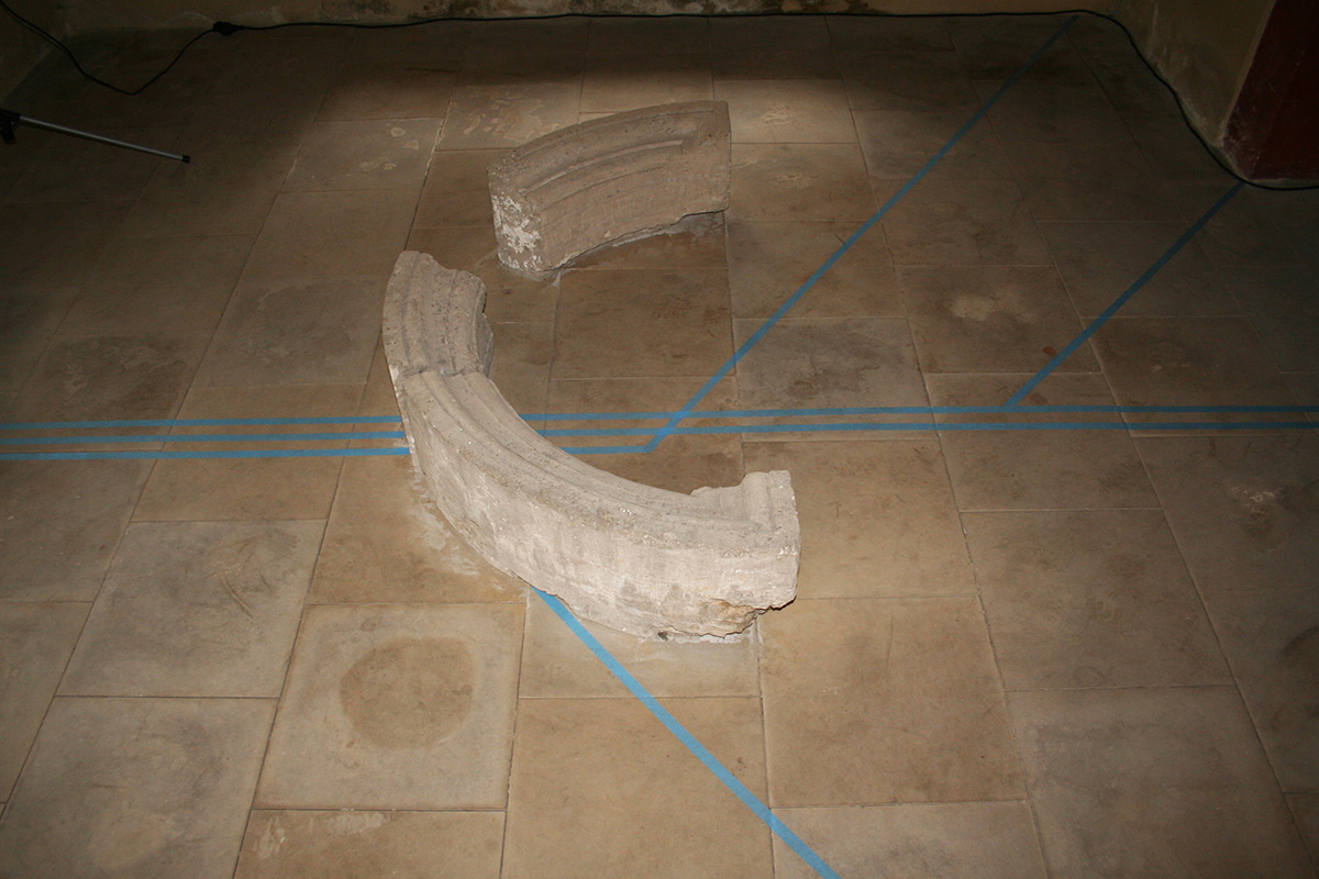
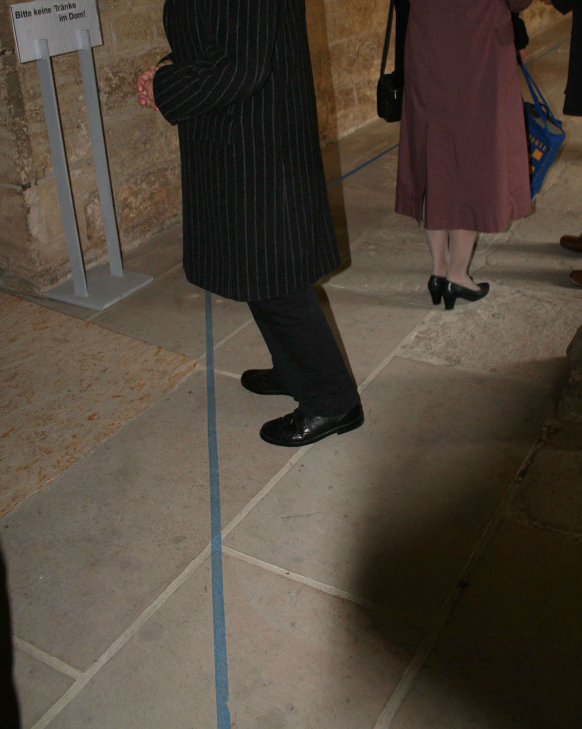


In Karten ist Wasser immer blau markiert (In collaboration with Nora Mertes), 2010
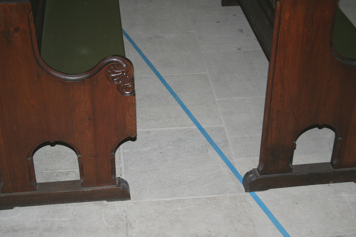
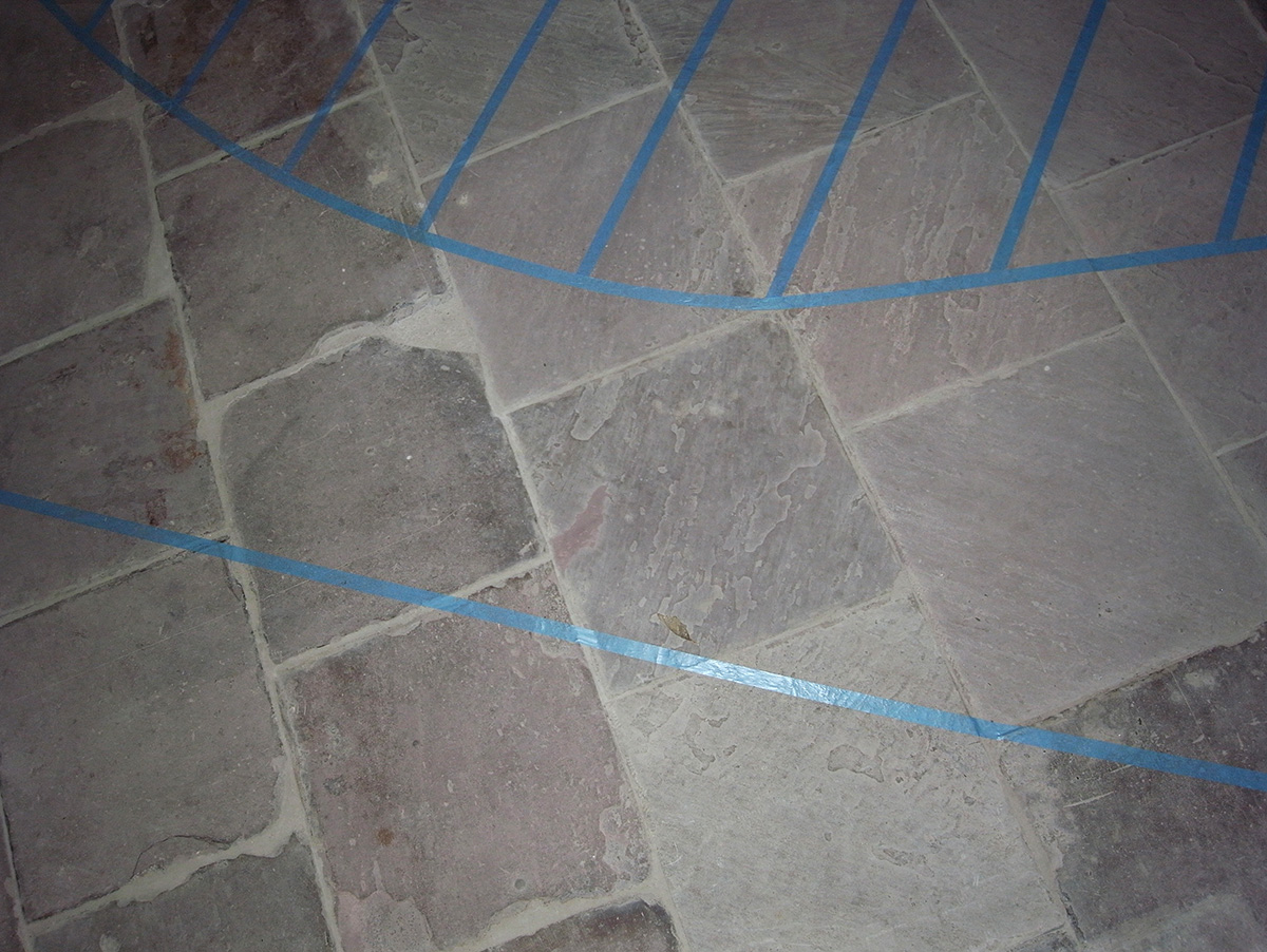
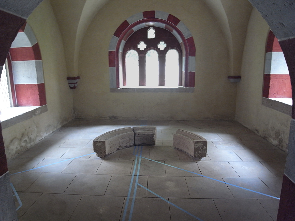
Kaiserdom Königslutter
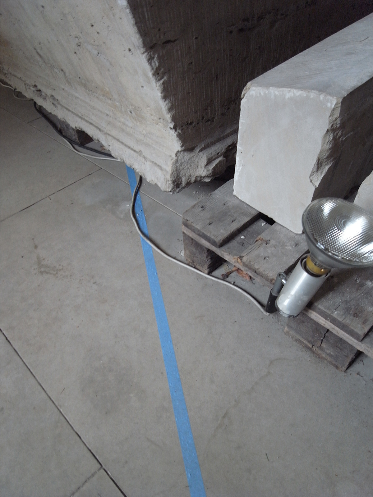
blue tape on cathedrals floor
the size of the work equals the size of the cathedrals floor plan
photo: GM
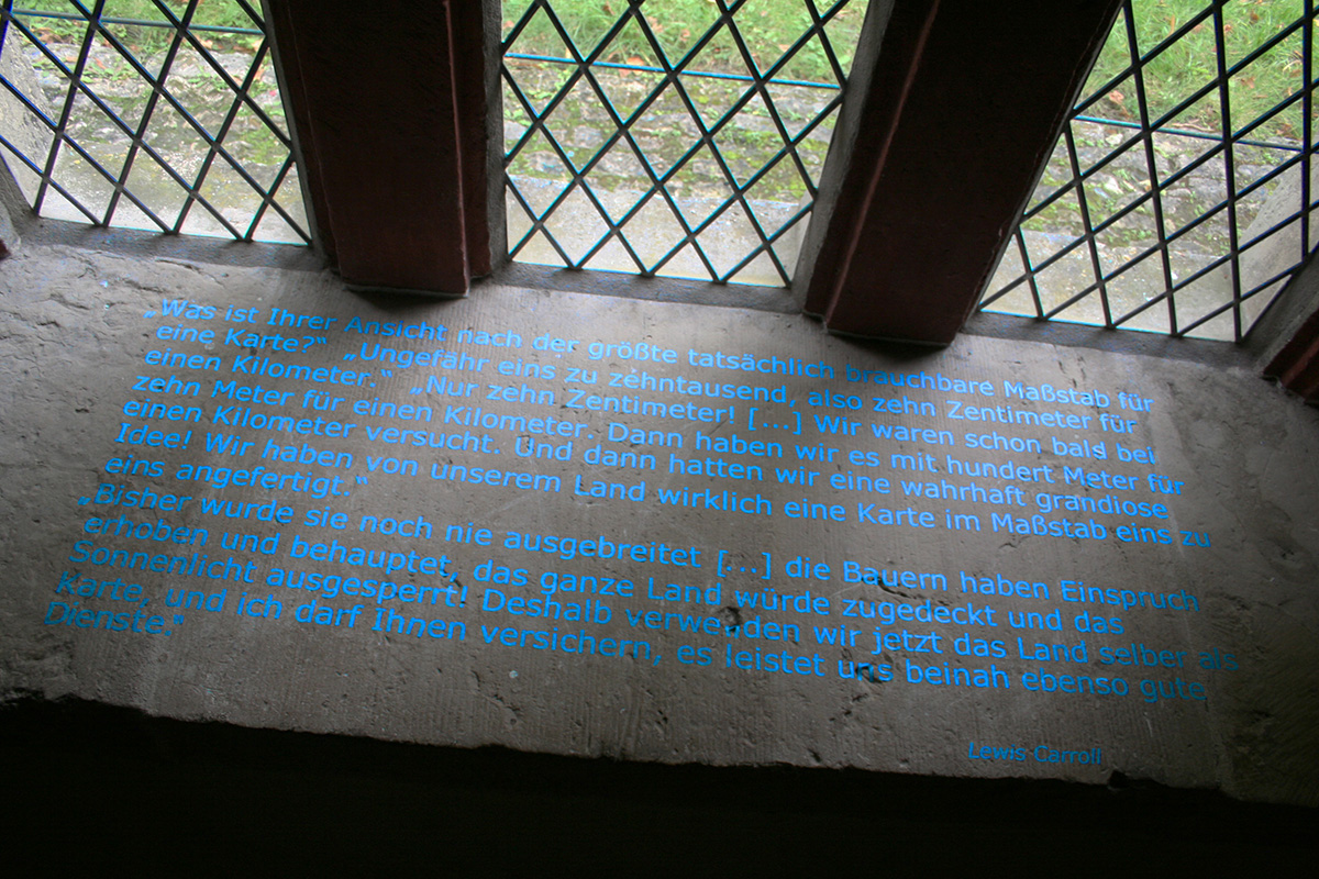
There are contradictory views in the German city of Königslutter about the presence of water under the Imperial Cathedral. Together with Nora
Mertes, we consulted various people and historical documents in the town: the city archivist, a private archivist, a shaman, a priest, a geologist, cultural experts, the oldest local resident, a cafe owner, old maps, historical documents and legends. None of these views on water under the cathedral in Königslutter is clearly proven. On the basis of this research work, we used a blue line to create a map that visualized in 1:1 scale all the possible watercourses, collections of water, and water channels under the Imperial Cathedral in Königslutter. The scale of the map thus corresponded to the foundation of the Imperial Cathedral. It showed a water network, the total volume of which would have caused the cathedral to collapse. All the respondents were invited to attend. The map was laid out for the total lengths of the exhibition.